
Featured Maps:
-
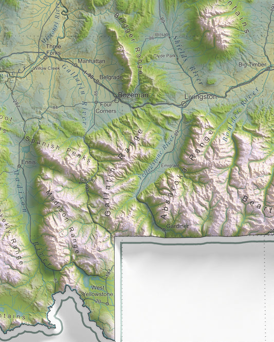
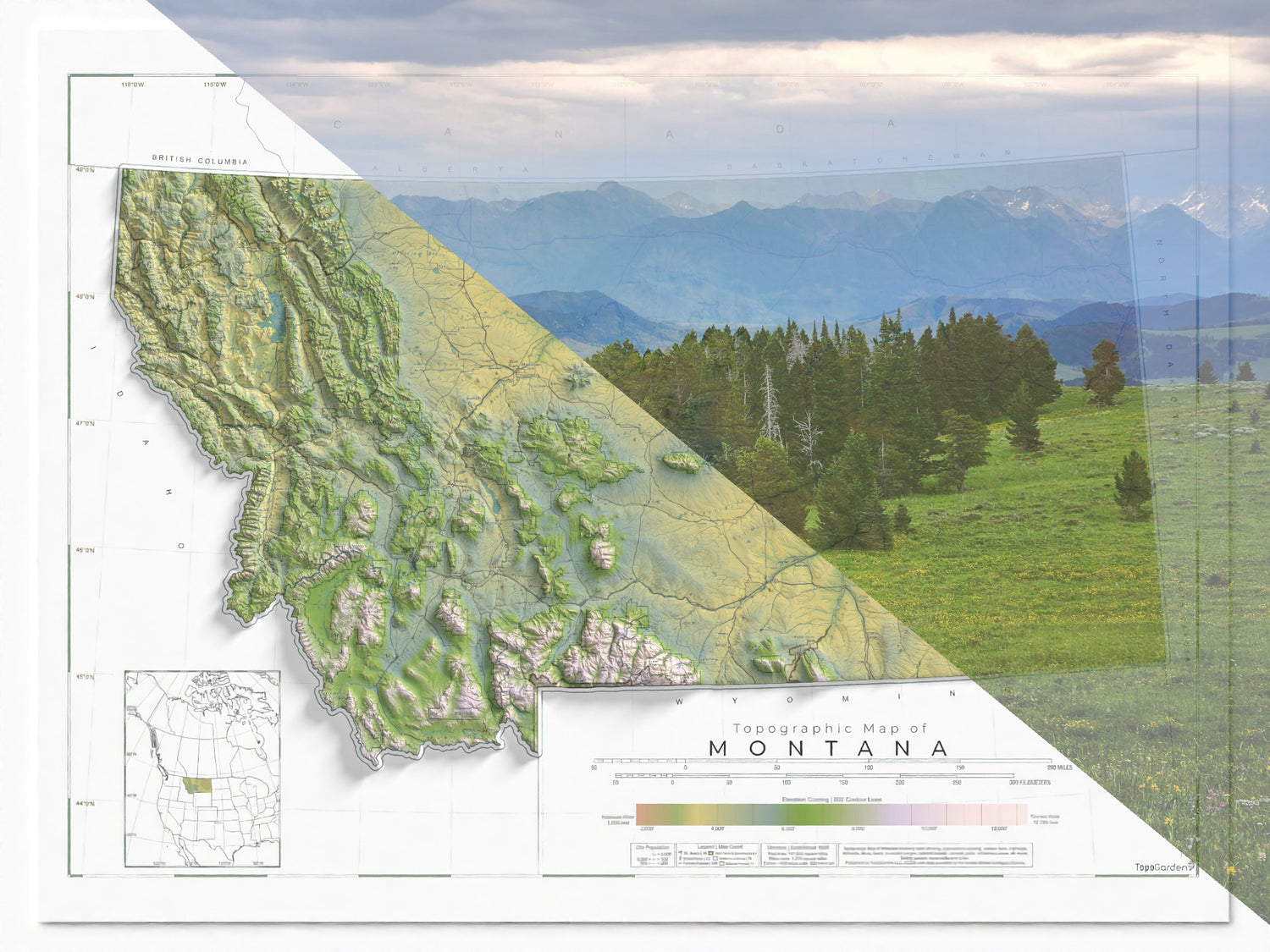
Montana Ranges and Rivers | Ultimate Topographic Map of Montana
Regular price From $79.00 USDRegular priceUnit price per$0.00 USDSale price From $79.00 USD -
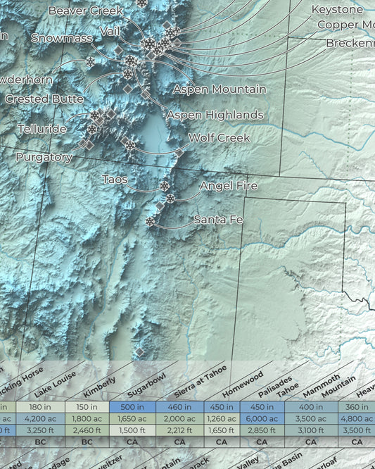
North America Ski Resort Map | 100 Select Ski Resorts
Regular price From $79.00 USDRegular priceUnit price per$0.00 USDSale price From $79.00 USD -
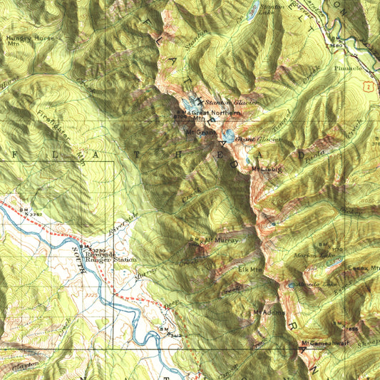
1914 Nyack | Jewel Basin, Flathead Alps & Glacier National Park, MT | 30'x30' Shaded Historic USGS Map
Regular price From $49.00 USDRegular priceUnit price per$0.00 USDSale price From $49.00 USD -
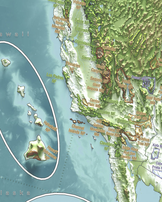
Conservation Areas of The USA and Canada | Shaded Relief Map with National Parks, Forests and Wildlife Management Areas
Regular price From $57.00 USDRegular priceUnit price per$0.00 USDSale price From $57.00 USD -
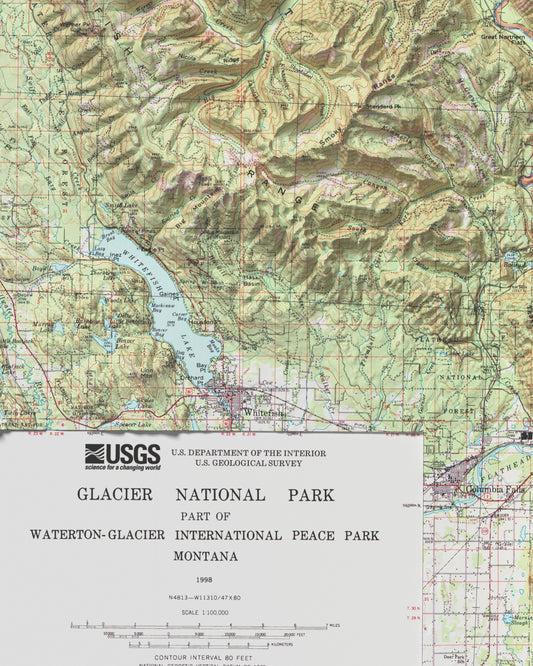
1998 Glacier National Park | Historic Topographic USGS Map
Regular price From $79.00 USDRegular priceUnit price per$0.00 USDSale price From $79.00 USD


Reviews From Our Community
Featured Map Collections:
-

Recreational Topographic Maps
This collection includes topographic and terrain-based maps of outdoor recreation areas across...
-

Historic USGS Relief Maps
This collection is based on historic USGS topographic maps, enhanced with modern...
-

Hydrology & Watershed Maps
These maps focus on river systems, drainage networks, and watershed boundaries, built...
-

Antique & Old Maps
This collection features historical and antique maps that have been carefully restored...


Built from modern elevation and geographic data.
Designed by an environmental scientist and recreationalist.
Printed with long term durability in mind.
Why These Maps Exist
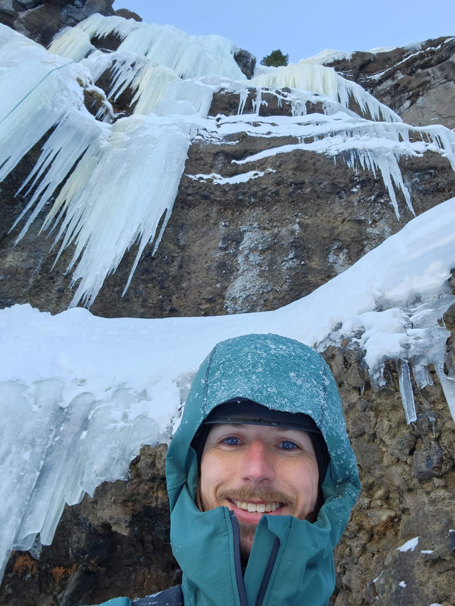
I’m an environmental scientist and spent six years guiding in Yellowstone, observing terrain, water, and landscape patterns every day. Years of recreating—on snow, rock and ice, rivers, trails, and coastlines—have further shaped how I understand these amazing places.
I make maps because I use them. They’re tools for understanding and a great source of inspiration. This work is inspired by the earth and highlights the places so many of us love.


