Collection: Recreational Topographic Maps
This collection includes topographic and terrain-based maps of outdoor recreation areas across North America. The maps cover mountain ranges, wilderness areas, forests, national parks, climbing areas, skiing, and other landscapes where we love to recreate.
They are built from modern elevation data at a range of resolutions, chosen to best represent each place. Many labels and locations data sets are handmade by me and my computer. The focus is on terrain, slope, and landform structure, resulting in maps that clearly show how the landscape is shaped and how we experience these places.
-
Based on modern elevation and terrain data
-
Covers a wide range of outdoor recreation landscapes
-
Designed to emphasize terrain, slope, and landform detail

-
Montana Ranges and Rivers | Topographic Map of Montana
Regular price From $45.00 USDRegular priceUnit price per$0.00 USDSale price From $45.00 USD -
Peaks of Glacier | Topographic Map of Glacier National Park, Montana USA
Regular price From $79.00 USDRegular priceUnit price per$0.00 USDSale price From $79.00 USD -
North America Ski Resort Map | 100 Select Ski Resorts
Regular price From $79.00 USDRegular priceUnit price per$0.00 USDSale price From $79.00 USD -
Conservation Areas of The USA and Canada | Shaded Relief Map with National Parks, Forests and Wildlife Management Areas
Regular price From $57.00 USDRegular priceUnit price per$0.00 USDSale price From $57.00 USD -
State Summits of North America | Peaks, Mountains, Buttes, Hills & High Points
Regular price From $39.00 USDRegular priceUnit price per$0.00 USDSale price From $39.00 USD -
Southwest Montana | Topographic Recreation Map
Regular price From $79.00 USDRegular priceUnit price per$0.00 USDSale price From $79.00 USD -
North America Climbing & Mountaineering Map | 125 Select Routes
Regular price From $79.00 USDRegular priceUnit price per$0.00 USDSale price From $79.00 USD -
Grand Teton Alpine Climbing Map | Grand Teton National Park | Wyoming
Regular price From $49.00 USDRegular priceUnit price per$0.00 USDSale price From $49.00 USD -
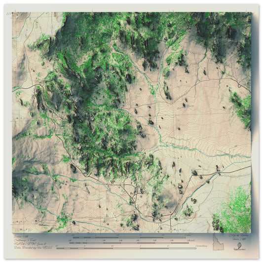
City of Rocks Climbing Area | Southern Idaho
Regular price From $49.00 USDRegular priceUnit price per$0.00 USDSale price From $49.00 USD -
Joshua Tree National Park | Topographic Recreation Map
Regular price From $79.00 USDRegular priceUnit price per$0.00 USDSale price From $79.00 USD -
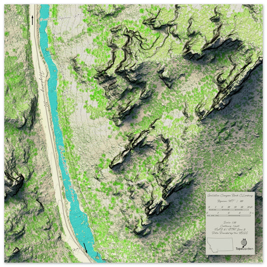
Gallatin Canyon Climbing Map | Gallatin Canyon | Montana
Regular price From $49.00 USDRegular priceUnit price per$0.00 USDSale price From $49.00 USD -
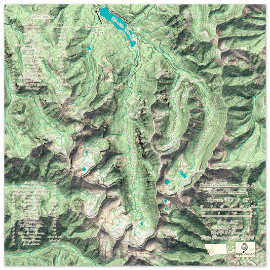
Hyalite Canyon Ice & Mixed Climbing Map | Hyalite Canyon | Montana
Regular price From $49.00 USDRegular priceUnit price per$0.00 USDSale price From $49.00 USD -
Tucson, AZ and Saguaro National Park | Shaded Relief Map
Regular price From $49.00 USDRegular priceUnit price per$0.00 USDSale price From $49.00 USD -
Colorful Hypsometric Maps of Montana | Hydrology, Roads, Contours and Shading
Regular price From $59.00 USDRegular priceUnit price per$0.00 USDSale price From $59.00 USD -
The United States of America | Red, White and Blue Shaded Relief and Hydrology Map
Regular price From $57.00 USDRegular priceUnit price per$0.00 USDSale price From $57.00 USD -
Crazy Mountains, MT | Shaded Topographic Map
Regular price From $49.00 USDRegular priceUnit price per$0.00 USDSale price From $49.00 USD -
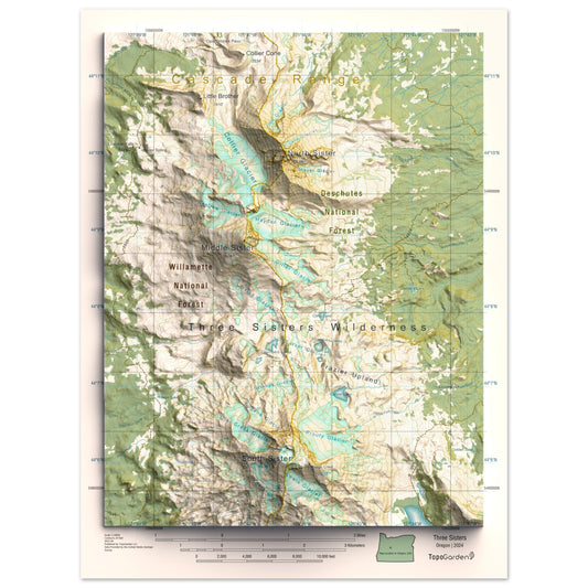
Three Sisters, OR | Shaded Topographic Map
Regular price From $49.00 USDRegular priceUnit price per$0.00 USDSale price From $49.00 USD -
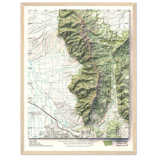
Bridger Mountains, MT | Shaded Topographic Map
Regular price From $49.00 USDRegular priceUnit price per$0.00 USDSale price From $49.00 USD -
Montana, USA | Mountain Ranges and Hydrology | Blue and Gold
Regular price From $49.00 USDRegular priceUnit price per$0.00 USDSale price From $49.00 USD


More Map Collections
-

Recreational Topographic Maps
This collection includes topographic and terrain-based maps of outdoor recreation areas across...
-

Hydrology & Watershed Maps
These maps focus on river systems, drainage networks, and watershed boundaries, built...
-

Antique & Old Maps
This collection features historical and antique maps that have been carefully restored...
-

Historic USGS Relief Maps
This collection is based on historic USGS topographic maps, enhanced with modern...


