Our Designs
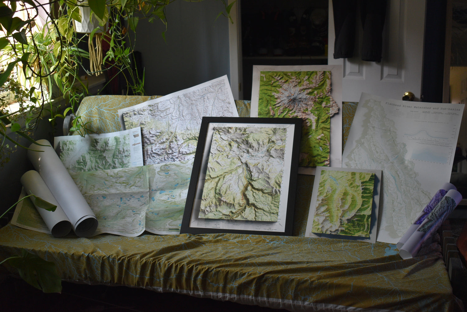
Forefront of Cartography
At Topogarden, we pride ourselves for being on the cutting edge of map-related design. Inspired by a deep connection to nature, our innovative approach, combined with a deep understanding of cartography, sets us apart in the industry. We consistently create top-tier designs that meet the unique needs of our clients, ensuring accuracy, creativity, and functionality in every project. Topogarden is your go-to partner for all things map design.
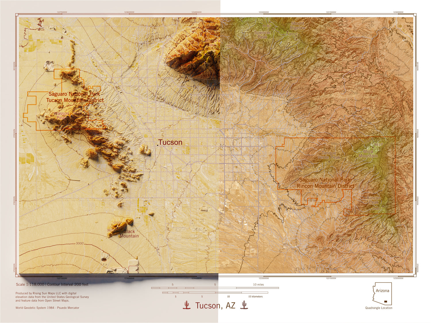
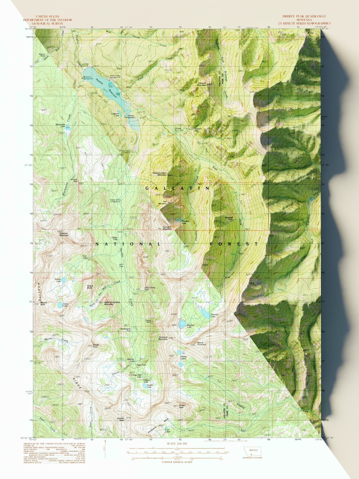
Why do some of your maps look 3-D?
We use highly detailed DEMs (digital elevation "models") - images that represent elevation above sea level - that have been collected via airplane and satellite imagery to add shading to various maps.
For our eyes, a world without shading is a world without depth. Shading is part of what gives us depth perception.
When we use hill shading, aka relief shading, we make maps appear to pop off the page. Using detailed models and sophisticated software, we can make our maps appear 3 dimensional.
With detailed DEMs, we can use a variety of computer software to
1) Prepare a map
2) Virtually distort the map image to add relief with a DEM
3) Cast digital sunlight onto the distorted map, which adds the shading
4) Capture or render an image from "above"
Shop Map Collections
-

Recreational Topographic Maps
This collection includes topographic and terrain-based maps of outdoor recreation areas across...
-

Antique & Old Maps
This collection features historical and antique maps that have been carefully restored...
-

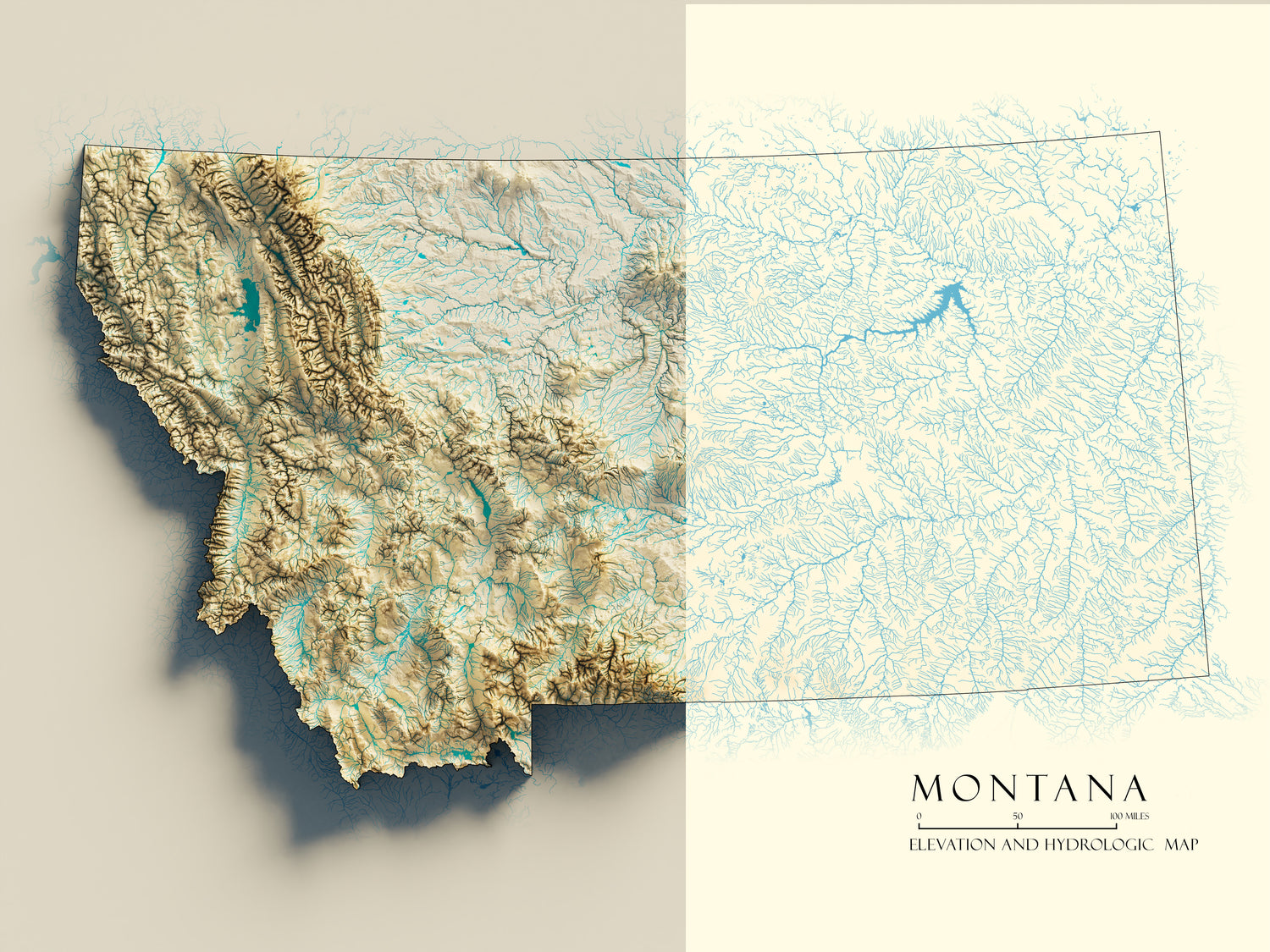
Hydrology & Watershed Maps
These maps focus on river systems, drainage networks, and watershed boundaries, built...
-

Historic USGS Relief Maps
This collection is based on historic USGS topographic maps, enhanced with modern...


